Heat Sensors project
- Details
- Written by: Philippa Borland Penrith City Council (02) 4732 7777 (02) 4732 7958 council@penrithcity.nsw.gov.au https://www.penrithcity.nsw.gov.au 601 High St Penrith NSW 2750 Australia
Council partnered with Western Sydney University (WSU) to undertake the heat sensor project during the summer of 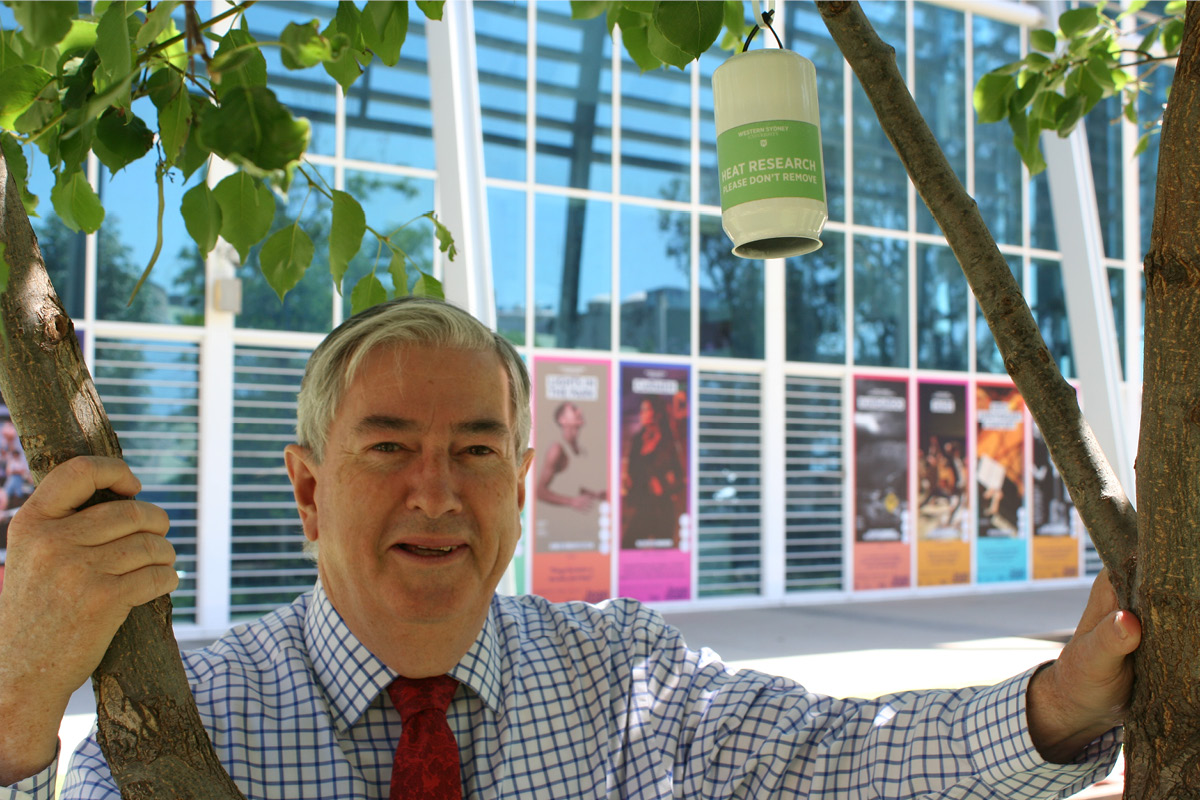 2019-20 to record localised summer air temperatures across the Penrith area. This work has provided Council with an in-depth understanding of local heat and hot spots. This information will be used strategically to prioritise cooling actions such as tree planting and be used to advocate for better urban development to create cooler places to live, work and play.
The heat sensors, which are small electronic sensors hanging within an aluminium can, were installed in public trees at 120 locations across the Penrith area in mid-December 2019. These sensors recorded air temperature results at 10-minute intervals and collected more than 1.4 million individual temperature measurements between 14 December 2019 and 30 March 2020.
The heat sensor project provided Council with scientifically verified data that can be applied to our work in addressing urban heat and in developing our cooling the city initiatives including prioritising tree planting project locations. The key findings can also be used to advocate to key bodies such as the State Government, as well as builders and developers, to push for more sustainable development and urban greening for a cooler city during our extreme summers.
The key findings from Council’s heat sensor project have been published in the ‘Benchmarking Summer Heat Across Penrith Report’ prepared by WSU.
Download: Benchmarking Summer Heat Across Penrith Report
For further information this project you can email the
You can also read our media release about this project.
Image (right): Cr Ross Fowler OAM with one of the heat sensors that was installed across the LGA.
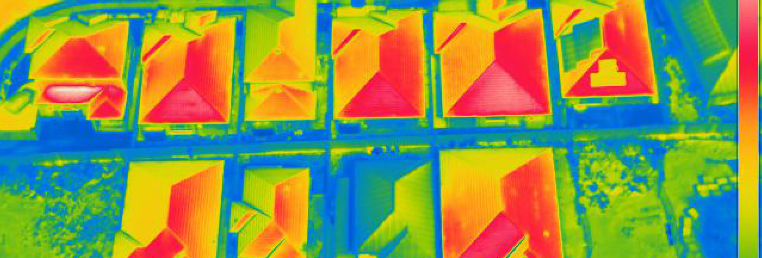
Image (banner): heat map of urban roof tops © S. Pfautsch