Better data on flood risks
- Details
- Written by: Adam Gatt Penrith City Council (02) 4732 7777 (02) 4732 7958 council@penrithcity.nsw.gov.au https://www.penrithcity.nsw.gov.au 601 High St Penrith NSW 2750 Australia
Tuesday, 23 February 2016
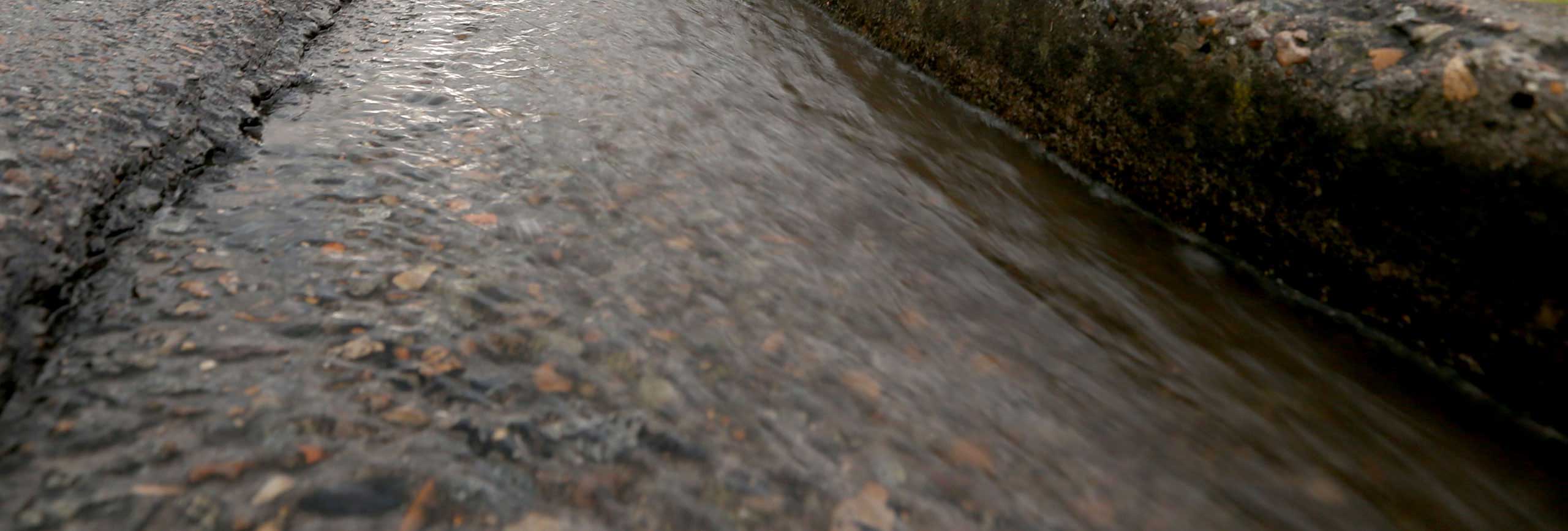
Council uses the latest flood modelling techniques and topographical information to map potential flood patterns across the City.
"Having the most accurate information is vital to predict the way a flood will impact life and property and ensure any steps can be taken to alleviate risk," Penrith Mayor Karen McKeown said.
Council has recently adopted a new study for St Marys (Byrnes Creek) which includes updated information about potential flood prone land and drainage paths.
"The St Marys (Byrnes Creek) Catchment Flood Study reaffirms the 2006 Overland Flood Study but with more detail. Council has now secured more accurate topographical information and also used up-to-date flood modelling techniques so the new flood study more accurately defines the flood affected areas," Cr McKeown said.
Having accurate information about overland flow enables Council to prioritise mitigation work and also provide property owners with a good understanding of how flooding may affect their property.
Council will also develop a comprehensive Floodplain Risk Management Plan for the St Marys (Byrnes Creek) Catchment Area, located on the southern side of the railway line and bounded by M4 to the south, Marsden Road to the east and St Marys Levee to the west.
Council is now writing to residents in the St Marys (Byrnes Creek) flood study area if their property is likely to be impacted by flooding or flood related controls.
"It's important to know the likelihood of flooding on your property in advance and have a plan in place of where you'll go, what you need to take and also carry out any preventative action to ensure the damage to your property is minimised," Cr McKeown said.
"This can include removing rubbish and other objects which might become dislodged during a flood."
Other work, including the South Creek Floodplain Risk Management Study, Little Creek Overland Flow Flood Study and College, Orth and Werrington Creeks Overland Flow Flood Study are also underway.
Visit the Floodplain Management page for more information.
Information contained within this news release was correct as at Tuesday, 23 February 2016.